
6 DAYS Mountain Saghro Trekking
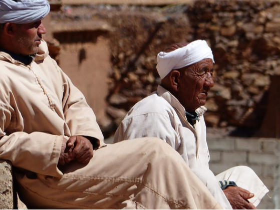
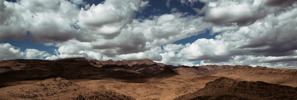
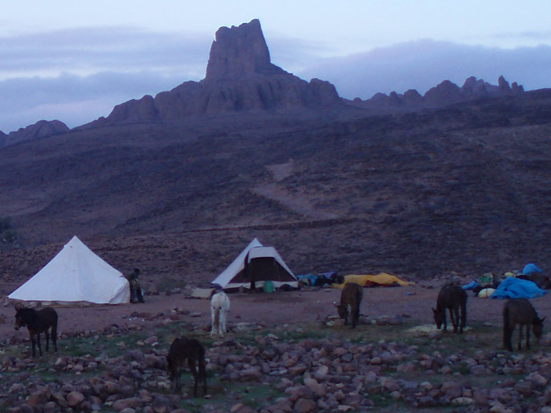
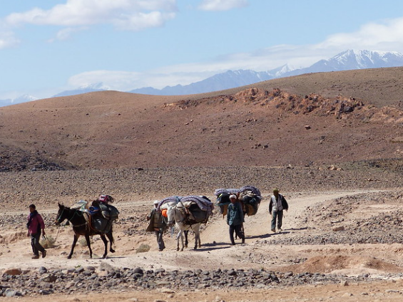
ITINERARY:Day1: Marrakech (Ouarzazate) – Tagdilt:Departure from your hotel in the morning to reach the south. The road climbs to Tichka, 2260 meters. It then switches to the south, with a total change of scenery and atmosphere. Direction Ouarzazate, then the valley of the Dades, dotted with palm plantations of Kasbahs and Ksour (fortified villages) rammed Day 2: Tagdilt (1650 m) - Tizi n'Ouzarzam (2300 m) - Almou n'Ouarg (2200 m):The trail leaves the Dades valley to climb gradually. A canyon makes it possible to reach the Tizi n'Ouzarzam at 2300 m. Magnificent view of the great chain at 4000 meters M'Goun and the plain of Dadès. Camp on a small plateau between the mountains, not far from a well. 5 hours of walking. M: 650 m. D: 100 m. Day 3: Almou n'Ouarg (2200 m) - Kouaouch (2600 m) - Igli (1850 m):A regular ride makes it possible to reach the pass of Imi n'Ouarg (2550 m). We drive to the summit of Kouaouch, the highest point of the circuit, which offers a superb view of the mountains of the snow-covered Central High Atlas and the deserts of the south. The path sneaks between beautiful tabular reliefs. In passing, azibs, stone mountain shelters, and nomad camps. Camp in Igli, plateau surrounded by rocky peaks. 5h30 walk. M: 400 m. D: 750 m. Day 4: Igli (1850 m) - Bab n'Ali (1350 m)Descent on the Afourar Valley; traditional houses made of rammed earth, fields of barley and henna. We progress through red and ocher rocky peaks to Bab n'Ali. Crossing a small pass between the two peaks that form the "door" of Bab n'Ali, before following the ravine of Amguis. In the region, many Ait Atta nomads with their flocks. Camp near a well. 5:30 walk. M: 150 m. D: 650 m. Day 5: Bab n'Ali - Ighazoun – Hanedour:Descent of the small valley of Amguis, at the foot of the rocky peaks, until Ighazoun Nimlas. Crossing the plateau, with sumptuous rock formations. Last night in camp, a little after the village of Hanedour, perched on a cliff. 5:30 walk. M: 150 m. D: 200 m. Day 6: Hanedour - Marrakech (Ouarzazate) :A short walk before finding the vehicle for the return to Marrakech. Arrive at your accommodation in the afternoon. |
Short info:DESCRIPTION:Amazing trekking which start by the Aït Boulli and the Tarkedit, makes it possible to reach the summit of M'Goun, with return by Ikkis and its troglodyte houses, then the "happy valley". Details:Destination: Morocco Desert Duration: 6 days Possible since: 29/09 Until: 19/05 Price: Under request. Challenging mountain trekking:
Strong points:From a crossing route to discover the most spectacular landscapes and the highest point (Kouaouch):
The price includes:
The price does not include:
|
THE DETAILS ARE IN THE pictures
|
|
The Jbel Saghro or Djebel Saghro (Berber languages: Adrar Saɣru, Arabic: جبل صغرو) is a mountain range in southern Morocco. It is located south of the High Atlas and east of the Anti-Atlas in the northwest of Africa, northeast of Taliouine and southwest of Ouarzazate.